India is the third largest country of Asia. Which is surrounded by the Indian Ocean to the south, Arabian sea to the southwest, Bay of Bengal to the southeast, China, Nepal and Bhutan to the Northeast, Myanmar and Bangladesh to the east, and Pakistan to the West.
If you are looking to explore some best tourist places for summer holidays in India then this Extreme Points of India offer a huge variety in terms of weather, terrain, flora, fauna and each is worth visiting. India is a diverse country both in terms of its geographical landscape as well as its multiple cultures and ethnicities. It boasts of geography that is spread in an area of 3.28 million sq. km. The country runs 3215 km from north to south and 2933 km from east to west.
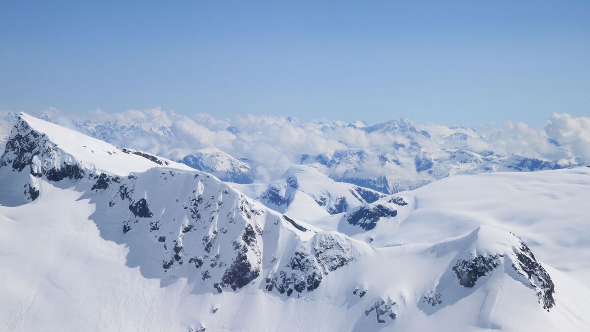
Due to its vast landscape, India enjoys a lot of diversity in geographical extreme points, be it the Himalayas in the North, the Indian Ocean in the South, the deserts in the West or hilly terrain of the East. Mount K2 or Mount Godwin-Austen or Chhogori at an altitude of 8611 m above sea level is the highest point in the country. The lowest point is Kuttanad in the Alappuzha and Kottayam district in the state of Kerala, 2.2 m below sea level.
Discover India’s Extreme Points:
There are many nearby places that can be explored when you visit these points as listed below:
1. Indira Point – The Southernmost Point Of Indian Territory:
Indira Point is a village in the Nicobar Islands. Andaman & Nicobar have a lighthouse located at Indira Point that gives directions to sea vessels travelling to Malaysia. Cape Comorin, Kanyakumari in Tamil Nadu is a pilgrimage and coastal town that is also the southernmost point of the Indian Peninsula. It is considered as the most popular tourist destination for holidays in Tamilnadu.
Nearby Tourist Places for Summer Holidays:
- Vivekananda Rock Memorial – A popular tourist site in Vavthurai, Kanyakumari. This rock memorial is located at a distance of 2 km from Kanyakumari. It opens from 8 AM to 4 PM. Situated in the midst of the Laccadive Sea; it can be reached by boat from Kanyakumari coast. It is considered that Swami Vivekananda attained wisdom on this rock.
- Thiruvalluvar Statue – A 133 m tall statue of the Tamil philosopher and poet Valluvar. This statue is located on a small island near the Coromandel Coast, Kanyakumari where the Arabian Sea and Bay of Bengal meet. It is a popular sightseer site.
- Kovalam – Kanyakumari Road – The Kovalam beach in Kerala is located at a distance of 70 km from Kanyakumari that can be covered through local taxi or autos. The travel of 2 hours from Kanyakumari is an experience in itself with the sights of mangroves and greenery all around.
- Sunset Point, Kanyakumari – The sunset point is a confluence of three ocean bodies- The Arabian Sea, Bay of Bengal and the Indian Ocean. The scenic beauty of this spot is breathtaking during sunset. Tourists also come here to experience the tidal waves at the shore during sunset.
- Mayapuri Wax Museum– The Kanyakumari Wax Museum is located within Bay watch Amusement Park. The museum has wax statues of well-known personalities from the world.
2. Guhar Moti – The Westernmost Point of India:
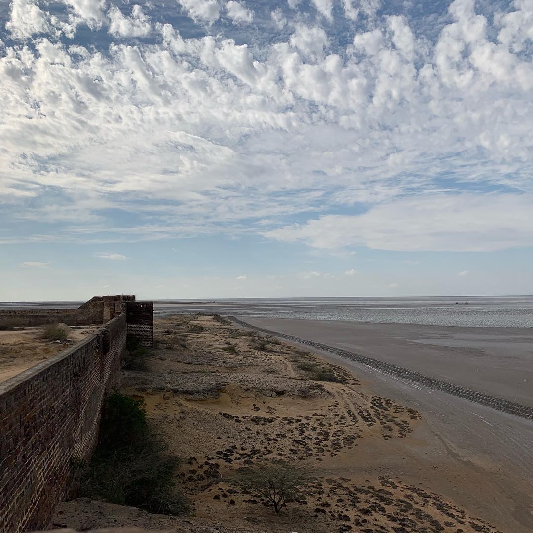
It is the village in the Lakhpat Taluka, Kutch District, Gujarat. The village is 120 km west of Bhuj and at a distance of 465 km from Gandhinagar. The Guhar Moti village comes under the regime of the Narayan Sarovar panchayat.
Nearby Tourist Places:
- Vijaya Vilas Palace – A popular summer time palace of Jadeja Maharaj of Kutch. This grand palace is situated on the sea beach of Mandvi, Kutch District, Gujarat. Located at a distance of 2 hours 30 min from Kutch, the palace was heavily damaged during the 2001 Gujarat earthquakes.
- Bhuj – The city is located at a distance of 100 km from Kutch and has some century-old buildings, forts, tombs and palaces that were destroyed during the 2001 earthquakes. The city has remains of these buildings that bring in a lot of tourists in the city. Bhuj is one of the best holiday destinations in India for tourists.
- Mandvi – Once a major port region and the summer retreat of the Maharaj of Kutch, Mandvi is an old municipality situated 150 km from Kutch in Gujarat. It is popular as it was once surrounded by fort walls whose remains can still be seen.
- Dholavira – An archaeological site at Khadirbet in Bhachau in Kutch district. Dholavira site has been under excavation by the ASI and many antiquities like gold, silver, animal bones pottery and bronze ornaments, and terracotta were found here.
- Gandhidham – A city in Kutch District, Gujarat. Gandhidham was named after Mahatma Gandhi and was created in the early 1950s. The place is popular as it was built for the resettlement of refugees from the Sindh region post-partition.
3. Kibithu – The Easternmost Point of India:
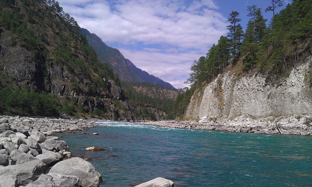
Kibithu, a town in Arunachal Pradesh is located on the Line of Control at 28°16′49″N 97°01′04″E. It is the entry point for the Lohit River and is located at the tri-junction of India, Myanmar, and China. Kibithu can be reached by taking the 2000 km long Vijaynagar Arunachal Pradesh Frontier Highway from Itanagar.
Nearby Places of Kibithu to Visit with Friends & Family:
- Dambuk – A small tehsil in Arunachal Pradesh. Dambuk in the Lower Dibang Valley is popular among adventure tourists for its tough terrain. It can be reached from Itanagar through a minibus in about 8 hours. The town has orange orchards from where fresh oranges can be picked and enjoyed.
- Kaho Village – The last village on the Line of Control, known as the road to China. Kaho is cut by the Lohit River. It is an Army checkpoint and can be reached by taking the Vijaynagar Arunachal Pradesh Frontier Highway from Itanagar.
- Mechukha – The magnificent valley is a significant Buddhist site with religious and historical significance. It is located 1829 m above sea level. The nearest airport is the Lilabari Airport in Assam.
4. Siachen Glacier – The Northernmost Point Of India:
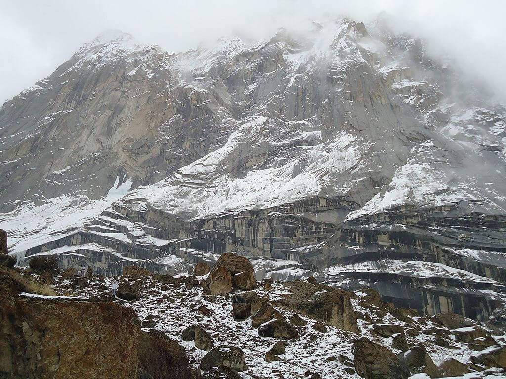
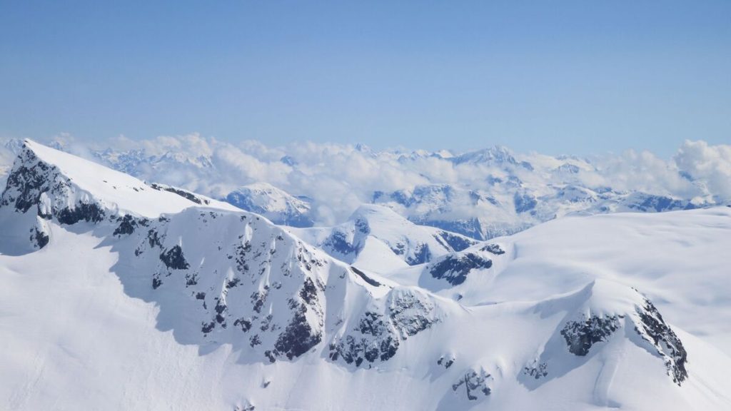
Siachen Glacier is located in the Karakoram Range of the Himalayas at an altitude of 5753 m above sea level at its head on the Indira col. It lies in the state of Jammu and Kashmir. The temperature here dips to – 60 degrees. The Siachen Base camp can be reached from Leh through Khardung La Pass, Panamik, and Warshi villages. From the base camp, it is a 60 km trek up to the icy glacier.
Nearby Tourist Places to Visit:
- Indira Col – A mountain pass at an altitude of 5764 m, Indira Col is located on the Indira Ridge in Siachen Muztagh in Karakoram Range. It is a saddle between the Siachen Glacier and Urdok glacier.
- Leh – A high desert located in the scenic Himalayas, Leh has been biker’s favorite destination for the many trekking areas and Buddhist sites and the 17th century Leh Palace. It can be reached through the air to Leh airport or through road by taking the Srinagar highway or from Manali.
- Srinagar – The summer capital of Jammu Kashmir, Srinagar also known as “Heaven on Earth” is a breathtaking city on the valley formed by the Jhelum River. You can directly reach Srinagar through air or railways.
- Hemis National Park – This national park is at a high altitude in the Ladakh region in Jammu and Kashmir and is popular for the snow leopards found here.
Also Have a Look at The Highest, Lowest, Largest, Smallest, Longest, Wettest, Coldest, etc.
Places to know before we wrap up the write-up:
- Coldest Place – Drass has situated 60 km from Kargil in Jammu Kashmir and is known as Gateway to Ladakh. The lowest temperature recorded in the region was -60 degree Celsius.
- Highest Point – Mount Kanchenjunga located in the eastern Himalayas in Sikkim State has an elevation of 8586 m and are a part of the Great Himalayan Range.
- Largest Delta – Sundarbans are mangrove forests in the largest delta with an area of 14,600 sq. km that is formed by the confluence of Brahmaputra, Ganges and Meghna rivers in West Bengal, India.
- Largest District – Kutch district in Gujarat covers an area of 45,674 sq. km and is the largest district in India and in the world. It is popular for its salt marsh in the Thar Desert.
- Largest State – Rajasthan situated in the north of India covers an area of 342, 239 sq. km. the state has a history that dates back to thousands of years. The state is home to the Aravalli Hills, Thar Desert and the ruins of the Indus Valley civilization.
- Longest River – The Ganges (Ganga) river, also known as the lifeline of India, is a mega-river with a length of 2525 km. The river passes through multiple cities in India and the fertile river basin supports life and agriculture in these regions.
- Lowest Point – Kuttanad, Kottayam in Kerala is known for its vast paddy fields geographical peculiarities. The region is situated 2.2 below sea level.
- Smallest District – Mahe formerly a part of Kerala state is now one of the four districts in the union territory of Puducherry and has an area of 8 sq km. It is situated at the mouth of Mahe River and was once a French colony.
- Smallest State – Goa, with the area of 3,702 sq. km is the smallest state by are but has the highest GDP per capita. It is visited by the number of International and domestic tourists due to its white beaches architecture and nightlife.
- Wettest Place – Mawsynram in East Khasi Hills in the North Eastern state of Meghalaya is the wettest place in India with an annual rainfall of 11,872 mm followed by Cherrapunji which gets an annual rainfall of 11,777 mm.
Pack your bags and plan to spend your upcoming summer holidays in India at the place most fascinating to you.
FAQs:
The easternmost point of India, Kibithu, is located in Arunachal Pradesh.
Guhar Moti in the Kutch region marks the westernmost point of India.
Indira Point experiences a tropical climate with high humidity.
Indira Col is named after former Prime Minister Indira Gandhi and is a strategic point in the Siachen Glacier.
Indira Point is located in the Great Nicobar district.
Indira Point can be accessed by sea or air travel to the Nicobar Islands, followed by a boat ride.
